MicroCarb: Mapping Carbon Emissions from Space
RAL Space supported instrument development and environmental test for Europe’s first satellite dedicated to monitoring atmospheric carbon dioxide – the main greenhouse gas responsible for climate change.
Challenge
Forests, oceans and other natural sinks continually absorb CO₂ as part of a balanced cycle, while human activity adds excess carbon that disrupts that balance.
Separating these sources is essential for modelling future climate scenarios, assessing progress towards emission-reduction targets, and ensuring accountability in meeting climate policy.
Cities are responsible for more than 70% of global CO₂ emissions, yet until now it has not been possible to measure their output from space with the precision needed to inform meaningful climate action. MicroCarb is Europe’s first satellite designed specifically to map carbon dioxide, and the first capable of resolving urban emissions at a scale that can genuinely support climate decision‑making.
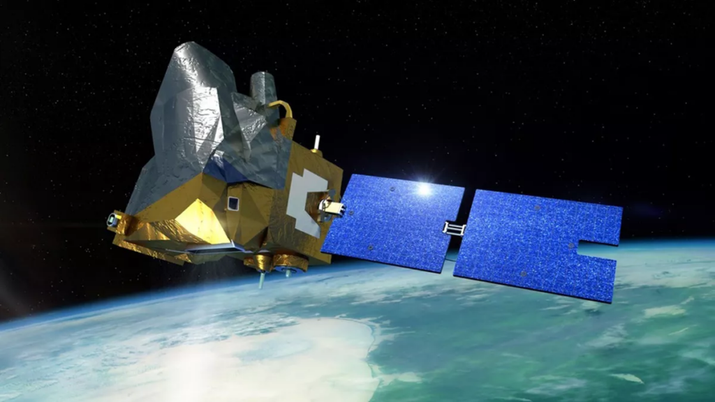
Artist’s impression of MicroCarb in space. Credit: CNES/ill./SATTLER Oliver, 2021
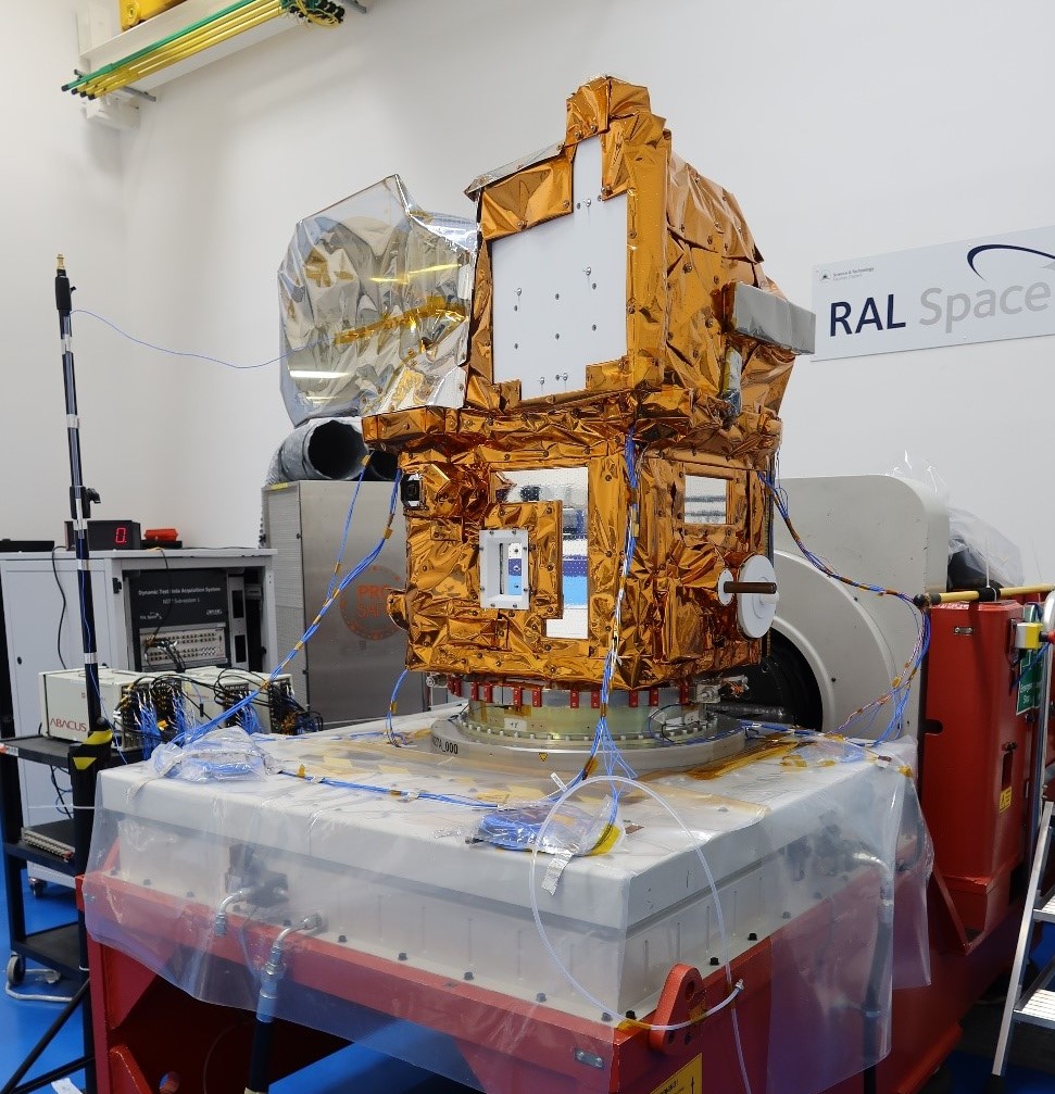
MicroCarb undergoing vibration tests at RAL Space. Credit: CNES / Benoit Cerantola
Approach
A joint mission between the UK Space Agency and CNES, the French space agency, MicroCarb orbits 650km above Earth and scans cities at an unprecedented 2km x 2km resolution. RAL Space developed the satellite’s Pointing and Calibration System, a critical component that steers MicroCarb’s view with pinpoint accuracy throughout its lifetime.
Following PCS integration, the full spacecraft returned to RAL Space in December 2022 for environmental testing. Working with Thales Alenia Space in the UK, RAL Space teams carried out rigorous vibration, shock, and thermal vacuum tests to ensure MicroCarb could survive launch and the extreme conditions of orbit. RAL Space also manufactured some of the multi-layer insulation blankets that protect the satellite from harsh temperatures in space.
Benefits
MicroCarb now forms part of the international greenhouse gas virtual constellation – a global network of satellites monitoring Earth’s atmospheric composition. Its city-scanning capability offers a step change in our ability to track and understand urban CO₂ emissions, giving scientists and policymakers the data they need to target climate action where it matters most.
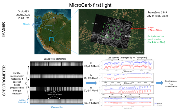
MicroCarb’s first measurements came from the Amazon basin – a region playing a crucial role in the global carbon cycle, but where few ground-based CO₂ observations exist.

Read more about the UK’s contributions to MicroCarb via Space4Climate

