BARODAR: Measuring global surface pressure from space for the first time
Closing a critical data gap by delivering global, high-resolution surface pressure measurements from space for the first time.
Challenge
Extreme weather events are becoming more frequent and severe, yet we still lack reliable, global surface air pressure data – one of the most fundamental inputs for accurate weather forecasting. Today’s measurements come almost entirely from ground stations concentrated in Europe and North America, leaving insufficient coverage across other land areas, and extremely sparce coverage over the oceans which cover about 70% of the Earth’s surface. This gap limits the accuracy of Numerical Weather Prediction and reduces our ability to provide early warnings for storms, floods, hurricanes and other climate driven hazards.
Approach
Led by RAL Space, the BARODAR (Barometric Differential Absorption Radar) mission concept aims to close this critical data gap by delivering global, high-resolution surface pressure measurements from space for the first time.
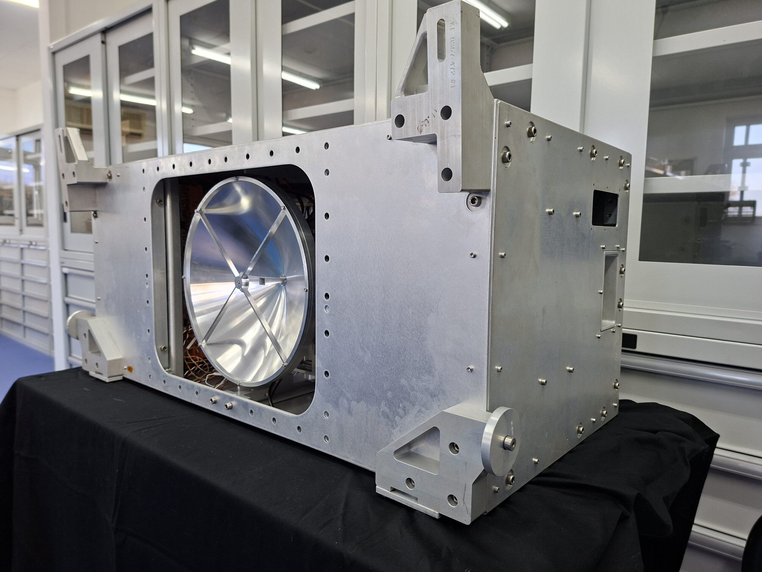
BARODAR’s novel instrument design uses three measurements at separate frequencies in and out of the oxygen band. Its pulsed radar operates in two modes: one measuring signal returns from the Earth’s surface to derive surface pressure measurements, and another transmitting longer pulses for cloud detection to improve accuracy. Additional measurements come from a multi-frequency microwave radiometer providing information on water vapour, liquid water, and temperature profiles, enabling essential atmospheric corrections.
A ground-based demonstrator funded by the UK Space Agency successfully advanced the BARODAR concept to TRL-3, and an ESA-funded airborne demonstrator is due to fly soon. The team have already completed a study of small satellite constellation mission with partners NanoAvionics UK and Plextek Services Ltd, as well as an ESA Earth Explorer proposal with Airbus Space. They are now continuing to explore next steps for the BARODAR technology.
Benefits
BARODAR aims to provide an unprecedented 10km spatial resolution for global surface air pressure measurements, with high accuracy and temporal resolution. Its data would strengthen forecasting models, improve early warnings for extreme weather and support resilience across agriculture, shipping, infrastructure, defence and public health. By paving the way for a future constellation capable of continuous coverage, BARODAR could help governments and communities better prepare for a rapidly changing climate.