Surveying forests using hyperspectral cameras onboard drones
A team at RAL Space is changing the way tree populations can be assessed from the sky, determining whether they’re affected by disease, pests, or climate.
Challenge
Surveying woodlands to determine tree numbers, species and health can be a laborious and painstaking task, often involving walking through large, forested areas manually assessing a sample of individual trees. Understanding tree populations and how they change over time is important in our drive towards Net Zero, as it allows for a better understanding of not just how many and what type of trees there are, but also how much carbon they’re likely to absorb and store over time. By moving surveys into the air, researchers can use modern camera technology to take a far broader view of an area’s tree population, determining not only the make-up of trees, but whether those trees are unhealthy and capturing less carbon due to the effects of disease, pests or climate change.
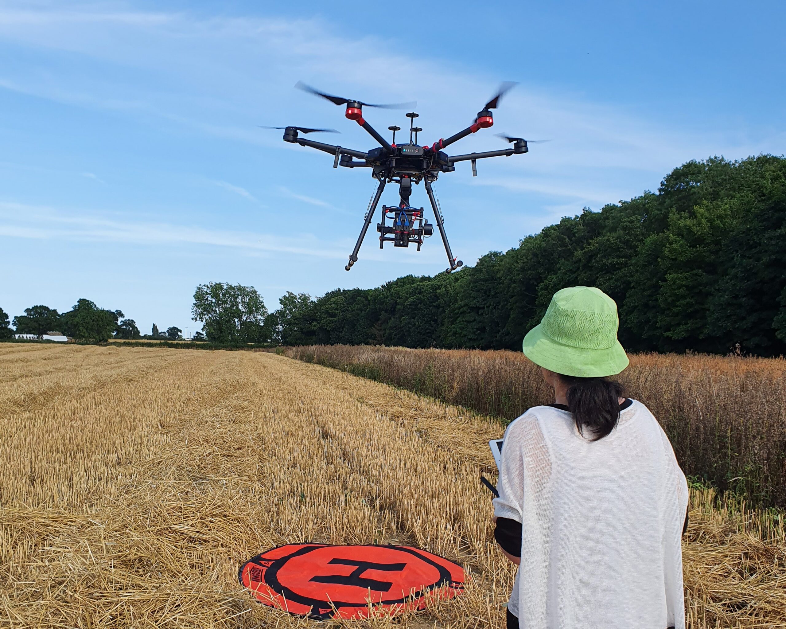
Drone landing after surveying the Long Plantation
Woodland in Norfolk, UK. Credit: STFC RAL Space

Raw Calibration image from the Near-Infrared imager of the
RAL Space hyperspectral system. Credit: STFC RAL Space

Approach
The RAL Space team proposed to use drones fitted with commercially available hyperspectral cameras to assess and monitor tree populations from the sky. Hyperspectral cameras aim to gather light from across the electromagnetic spectrum, from the ultra-violet through to the near infrared, allowing for more detailed analysis than traditional RGB (red, green and blue) cameras. The system developed by RAL Space uses two cameras that can cover 41 wavelengths of light in regions that the human eye can see, and regions far beyond. Different compounds found in plants absorb different wavelengths of light, giving each plant a unique ‘fingerprint’ that can be seen using a hyperspectral camera. Where a group of sweet chestnut trees may look distinctly different from a group of oaks, a group of healthy oaks can also look different from a group that is stressed or diseased.
Benefits
Calibration is a critical component of any system that wishes to compare measurements and achieve qualitative and quantitative results. The RAL Space team has spent time developing a robustly calibrated system to make sure that the data collected meets high international standards and is able to withstand and account for changing conditions – for example, changing weather or light conditions. Due to the vast amount of data captured by the cameras, machine learning algorithms are also being developed with university partners, to help turn the data into a useful and usable form. The team aims to work with national and international partners to develop and calibrate hyperspectral cameras so that not only drones, but satellites too, can produce accurate woodland surveys with a fraction of the time and cost of traditional manual surveys. To validate the results, RAL Space has developed a network of partners to confirm and crossreference drone-based data with advanced ground-based sensors, and health assessments performed by experienced agronomists.

